In Mapping New York, the history of the city, its streets, services and social workings, is traced through the maps that have been made of it. Take a look at some of the most revealing and fascinating specimens here
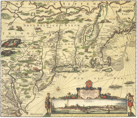
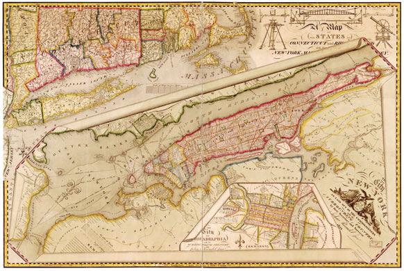
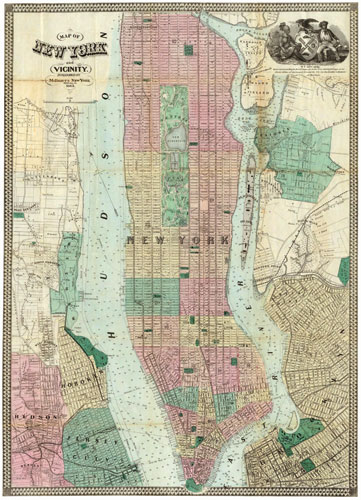
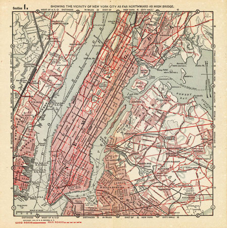
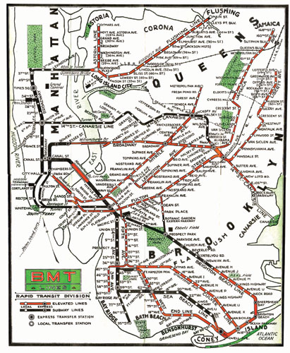
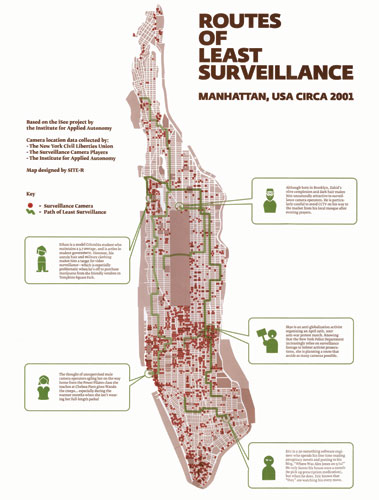
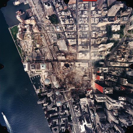
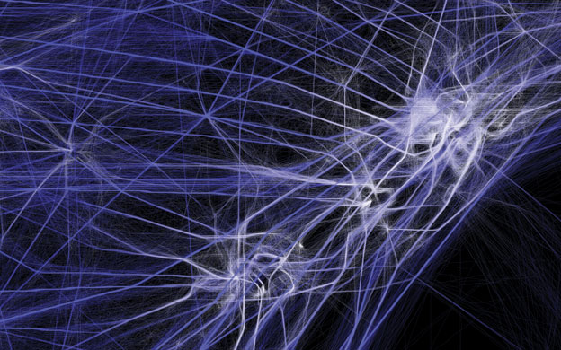
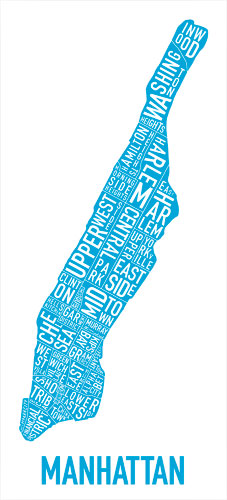
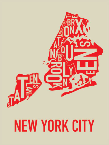
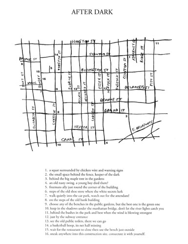
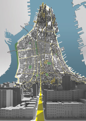
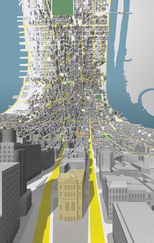
Novi Belgii Novaeque Angliae Nec Non Partis Virginiae Tabula. Augustine Herman, 1651–1653Photograph: guardian.co.ukThe City of New York as laid out by the Commissioners with the surrounding country John Randel Jr., 1821Photograph: guardian.co.ukMap of New York and Vicinity. Matthew Dripps, 1863Photograph: guardian.co.ukSection 1. Showing the Vicinity of New York City as far Northward as High Bridge. R.D. Servoss, 1894Photograph: guardian.co.ukBMT Rapid Transit division Map Brooklyn-Manhattan Transit Corporation, 1937Photograph: guardian.co.ukManhattan. Howar Horowitz, 1997. Originally appeared in The New York Times, 30 August 1997Photograph: guardian.co.ukRoutes of Least Surveillance: Manhattan, USA circa 2001 Photograph: guardian.co.ukAftermath Of World Trade Center Attack. Nasa Earth Observatory, September 12 2001Photograph: guardian.co.ukAerial View Of Ground Zero and The Financial District. Library of Congress, 2001Photograph: guardian.co.ukFlight Patterns, 2005Photograph: guardian.co.ukOrk Posters Jenny Beorkrem, 2007 Photograph: guardian.co.ukOrk Posters Jenny Beorkrem, 2007Photograph: guardian.co.ukAfter Dark. Terrence Koh, 2007 Photograph: guardian.co.ukHere & There—A Horizonless Projection in Manhattan Berg, 2009 Photograph: guardian.co.ukHere & There—A Horizonless Projection in Manhattan Berg, 2009Photograph: guardian.co.uk